

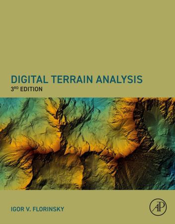
Igor Florinsky
(forfatter)
Digital Terrain Analysis, Third Edition ebok
1773,-
Digital Terrain Analysis, Third Edition synthesizes knowledge on methods and applications of digital terrain analysis and geomorphometry in the context of multi-scale problems in soil science, geology, and polar research. Divided into four parts, the book examines the main concepts, principles, and methods of digital terrain modeling, methods for analysis, modeling, and mapping of spatial distrib…
Digital Terrain Analysis, Third Edition synthesizes knowledge on methods and applications of digital terrain analysis and geomorphometry in the context of multi-scale problems in soil science, geology, and polar research. Divided into four parts, the book examines the main concepts, principles, and methods of digital terrain modeling, methods for analysis, modeling, and mapping of spatial distribution of soil properties, techniques for recognition, analysis, and interpretation of topographically manifested geological features, and finally, polar research. This new release provides a theoretical and methodological basis for understanding and applying geographical modeling techniques.- Presents an integrated and unified view of digital terrain analysis in both soil science and geology- Includes a rigorous description of the mathematical principles of digital terrain analysis- Provides both a theoretical and methodological basis for understanding and applying geographical modeling- Contain a new section on Digital Terrain Modeling in polar research, as well as updated information, methods, and figures from previous editions
Ebok
1773,-





Forlag
Academic Press
Utgitt
02.11.2026
Sjanger
Dokumentar og fakta
Språk
English
Format
epub
DRM-beskyttelse
LCP
ISBN
9780443247996
Digital Terrain Analysis, Third Edition synthesizes knowledge on methods and applications of digital terrain analysis and geomorphometry in the context of multi-scale problems in soil science, geology, and polar research. Divided into four parts, the book examines the main concepts, principles, and methods of digital terrain modeling, methods for analysis, modeling, and mapping of spatial distribution of soil properties, techniques for recognition, analysis, and interpretation of topographically manifested geological features, and finally, polar research. This new release provides a theoretical and methodological basis for understanding and applying geographical modeling techniques.- Presents an integrated and unified view of digital terrain analysis in both soil science and geology- Includes a rigorous description of the mathematical principles of digital terrain analysis- Provides both a theoretical and methodological basis for understanding and applying geographical modeling- Contain a new section on Digital Terrain Modeling in polar research, as well as updated information, methods, and figures from previous editions
Ingen vurderinger ennå
